


La borde

fb30
User

Length
7.3 km

Max alt
1695 m

Uphill gradient
67 m
Km-Effort
8.2 km

Min alt
1651 m

Downhill gradient
58 m
Boucle
No
Creation date :
2024-06-23 08:34:20.0
Updated on :
2024-06-23 11:35:51.124

FREE GPS app for hiking
 SityTrail
IGN / Geographical institutes
SityTrail Plus
The world is yours!
About
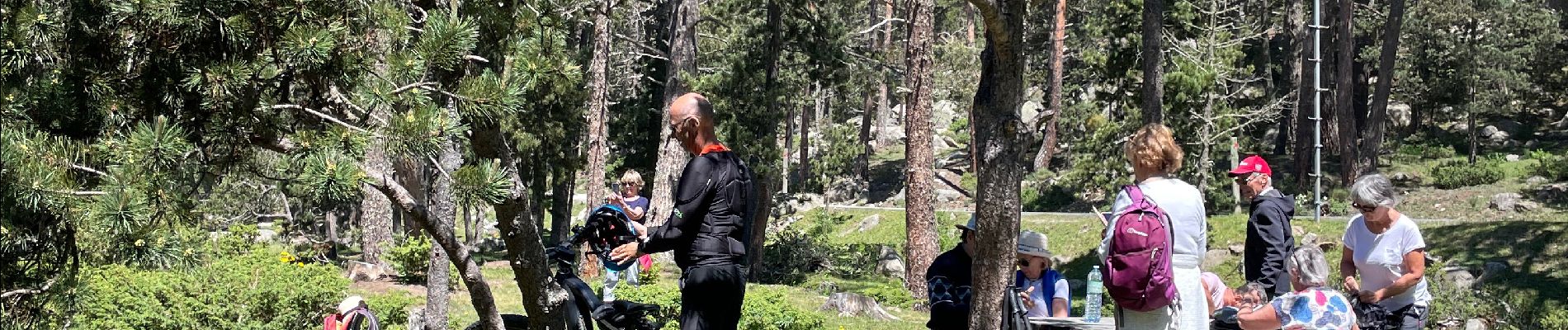
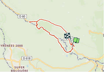
Trail of 7.3 km to be discovered at Occitania, Pyrénées-Orientales, La Llagonne. This trail is proposed by fb30.
Description
Petite balade sympa au bord de la rivière
Photos


Positioning
Country:
France
Region :
Occitania
Department/Province :
Pyrénées-Orientales
Municipality :
La Llagonne
Location:
Unknown
Start:(Dec)
Start:(UTM)
425789 ; 4707980 (31T) N.
Comments